Digital Tools: From Wind Maps to Digital Twins
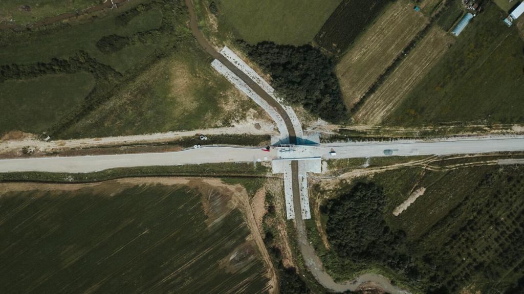
Computational fluid dynamics and drone-based scans reveal hidden hotspots near corners and setbacks. Pairing simulations with on-site anemometers over seasons validates patterns, so installations target reliable acceleration zones instead of chasing rare storm-driven peaks.
Digital Tools: From Wind Maps to Digital Twins
IoT sensors stream vibration, temperature, and power data into cloud dashboards. Algorithms flag bearing wear early, schedule service before failures, and correlate output with wind trends. The result: higher uptime, safer operation, and confidence you can show stakeholders.


